Mar 5 and 6, 2023.
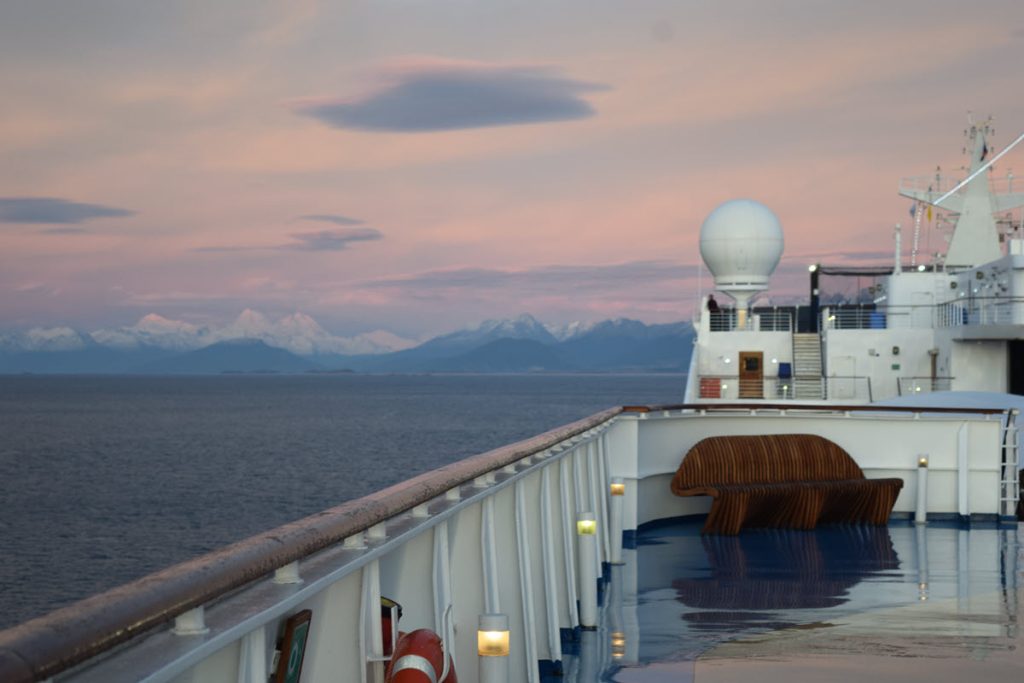
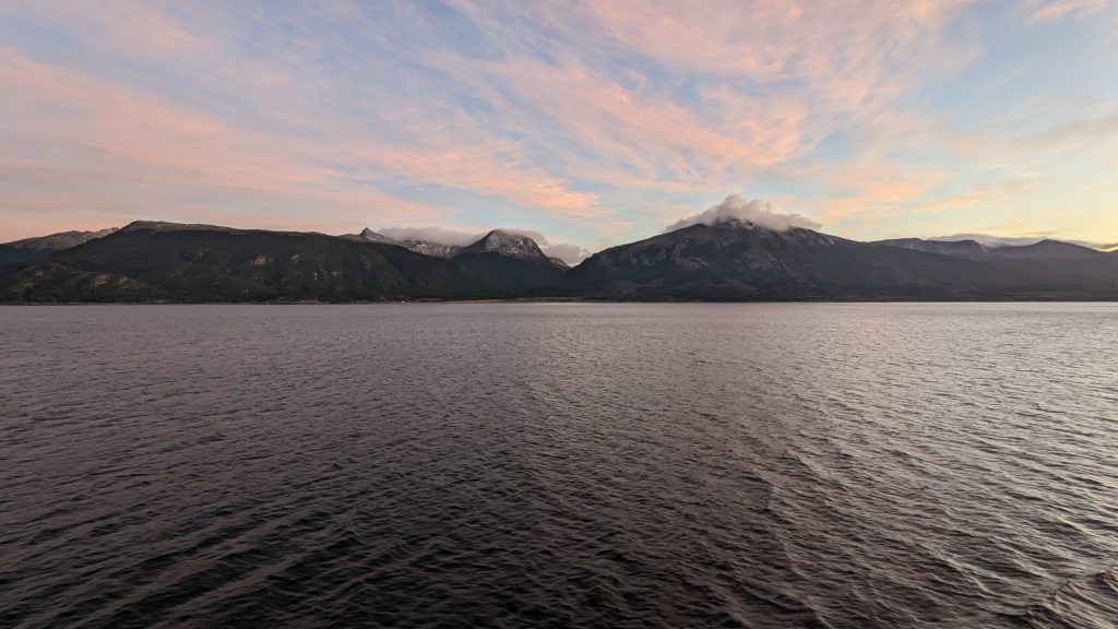
Since Oceania cancelled our planned stop at the Falkland Islands, we spent an extra day and one night in Ushuaia, Argentina. I was able to get hold of our guide, Gaston, we had booked through ToursbyLocals.com to arrange for an extra tour with during the afternoon of our extra day. Internet access is slow on the ship to upload photos so I’ll post without pictures for now. We arrived into Ushuaia just as the sun was rising.
A Geography Lesson
Ushuaia is located in a wide bay on the southern coast of Isla Grande de Tierra del Fuego, bounded on the north by the Martial mountain range and on the south by the Beagle Channel. The city has about 80,000 inhabitants and is located on the shores of the Beagle Channel surrounded by the mountain range of the Martial Glacier, in the Bay of Ushuaia.
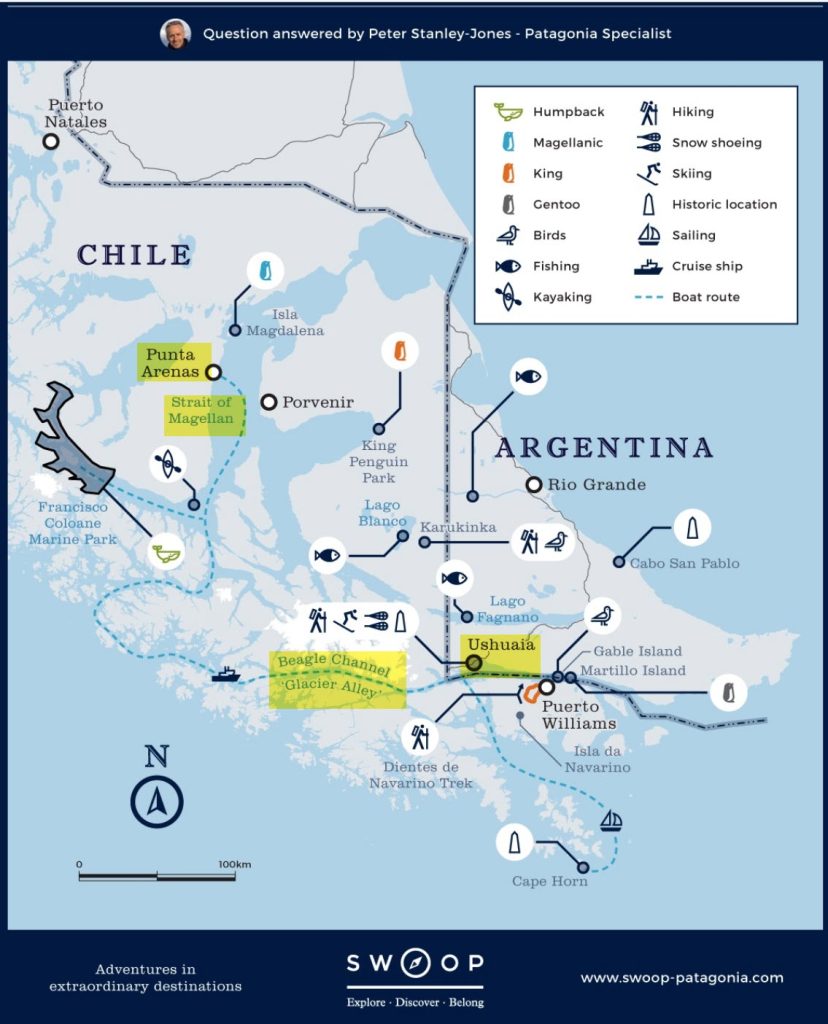
The island is part of the larger area called Patagonia. Patagonia refers to a geographical region that encompasses the southern end of South America, governed by Argentina and Chile. The region comprises the southern section of the Andes Mountains with lakes, fjords, temperate rainforests, and glaciers in the west and deserts, tablelands and steppes to the east. Patagonia is bounded by the Pacific Ocean on the west, the Atlantic Ocean to the east, and many bodies of water that connect them, such as the Strait of Magellan, the Beagle Channel, and the Drake Passage to the south. This map shows the area known as Patagonia.. The areas highlighted in yellow are where we traveled on this cruise.
Exploring Ushuaia & National Park
Bill and I spent the morning exploring the town of Ushuaia which sprawls along the Beagle Channel. When you walk out of the port there are many vendor booths selling boat excursions to see wildlife and especially the penguins. It wasn’t a beautiful day so we opted not to take a boat excursion.
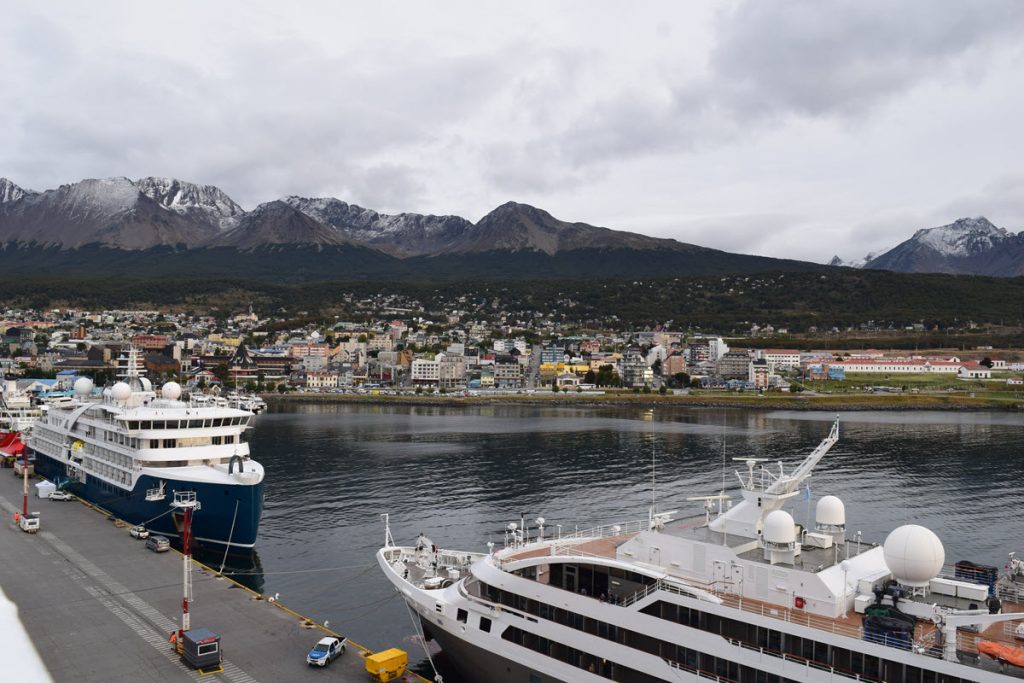
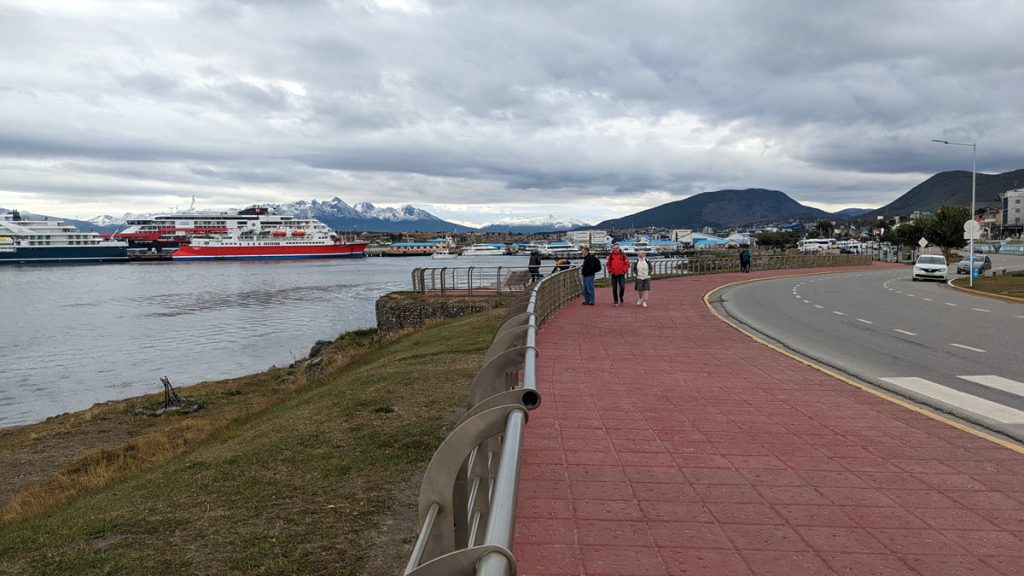
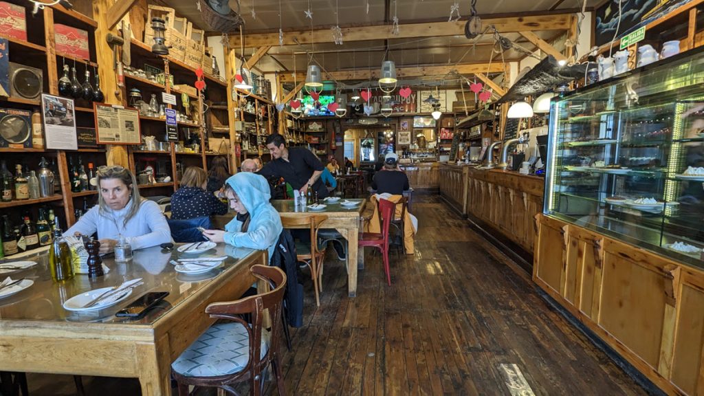
After walking the waterfront promenade, we hopped on a blue tourist bus to get an overview of the town. It was definitely worth the $10 fare – especially because the town cascades down some pretty steep hills. We had lunch at an old general store right on the main street, Ramon Generales Almacen. It is housed in an old general store and is filled with ephemera. For being in a touristy location we were surprised at the quality of the food. I had some excellent beef empanadas and a pumpkin soup.
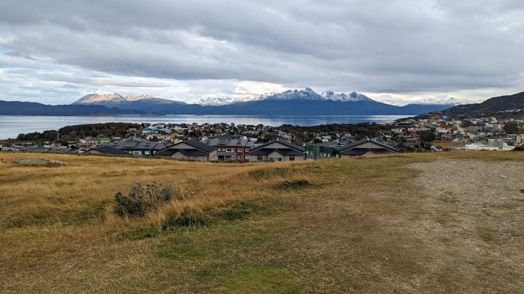
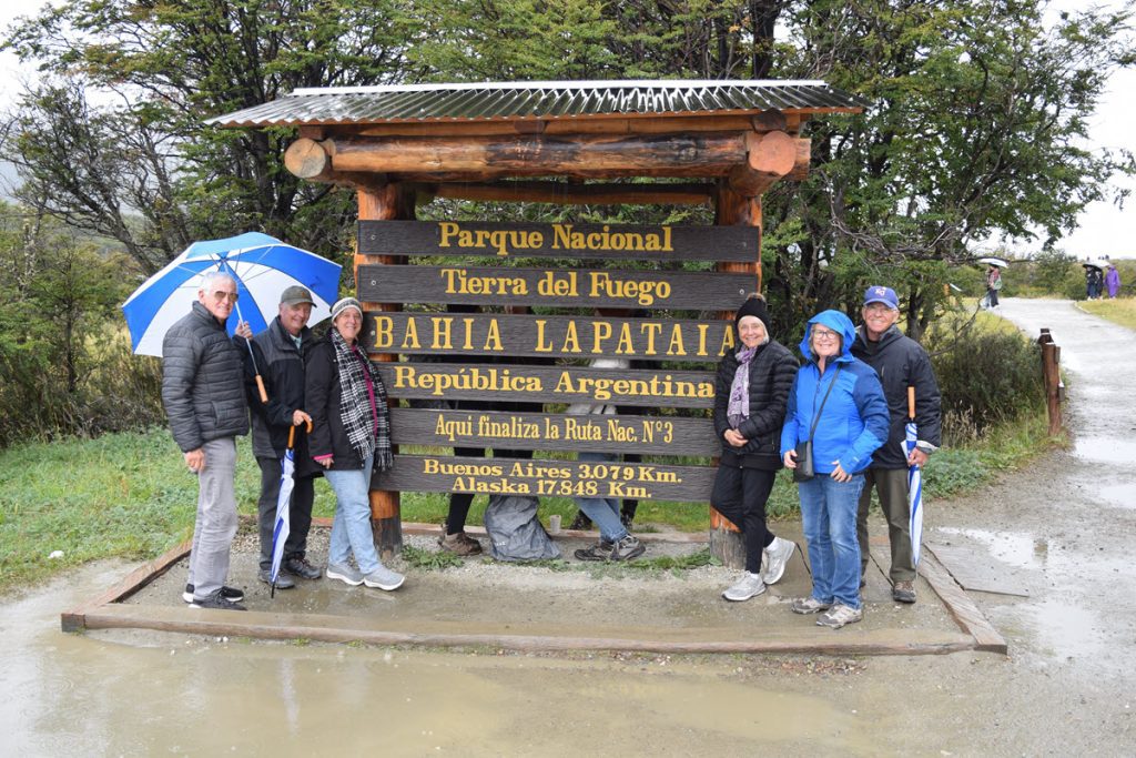
Gaston picked up the six of us just outside the port and we took a late afternoon rainy day tour of Tierra del Fuego National Park. This 630 square km park is just 12 km from the town of Ushuaia and contains mountains, lakes, peat bogs, a southern beech forest and sub-Antarctic tundra. We opted not to take the tourist train. Instead we cruised through the park stopping at Lake Ensenada and Lago Roca and took the requisite pictures in front of the “end of the world” post office, which was closed on Sunday. We drove to Lapataia Bay which is internationally famous it is the symbolic end of the Panamerican Highway that runs from Alaska to Ushuaia.
We saw upland geese but no other wildlife. Other than a variety of birds, sea animals (sea lions penguins, cormorands), juanaca (llama like) and foxes, there are not many animals native to Tierra del Fuego island. The 3 ½ hour excursion was great start to our Ushuaia visit.
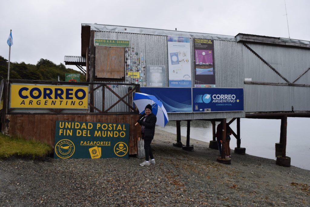
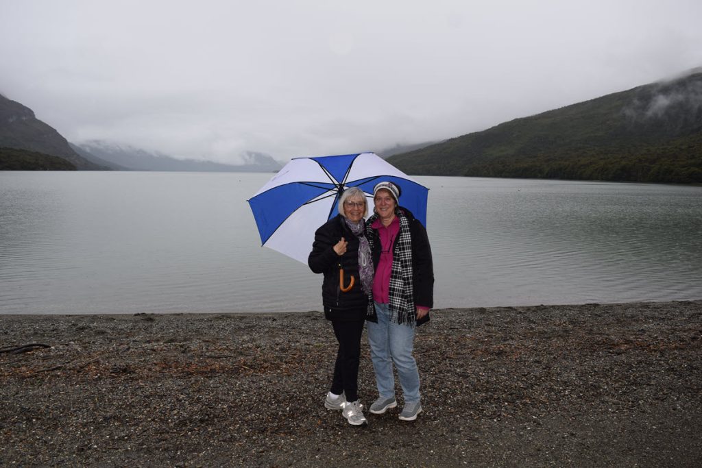
Ushuaia started as a penal colony. The prisoners built the railway that the tourists now use to go to the National Park. They used it to get to their logging sites in what is now a park. Brenda and Craig visited the museum that covers the history of the penal colony.
Beagle Channel Boat Excursion
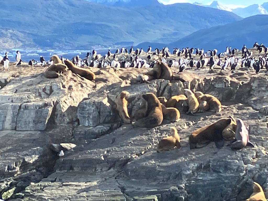
On Day 2 in Ushuaia, Brenda and Craig were able to get on a boat excursion from one of the vendors on the dock where they saw imperial cormorants, sea lions, whales and seals. Alas, no penguins! The cormorants look like penguins but they can fly while penguins do not fly.
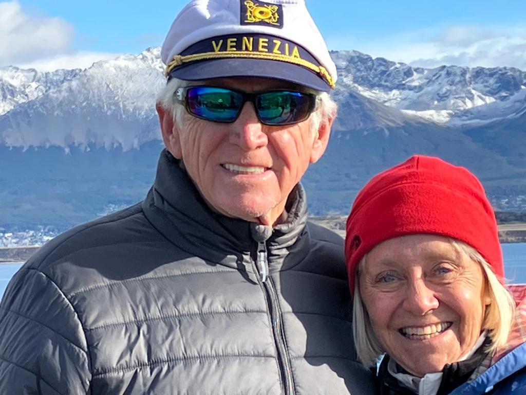
This shot below is the last we will ever see of Craig’s captain’s hat – the wind took it out to sea.
Lake District
Monday turned out to be a glorious sunny day with temps in the 50’s and moderate winds. Gaston picked us up at the boat and we spent about 5 hours seeing the terrain northeast of Ushuaia. We first went up by the “old” airport for some spectacular views of the city across a bay.
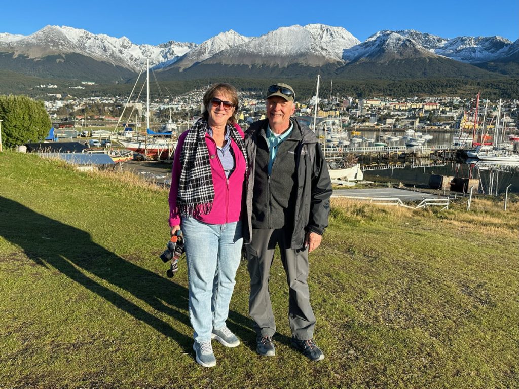
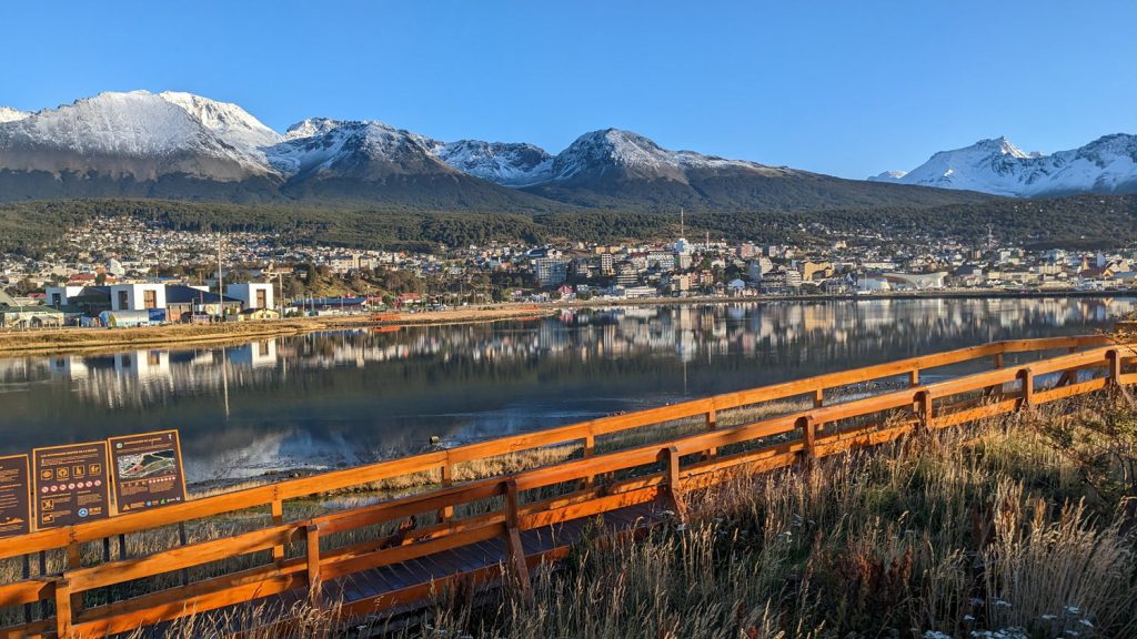
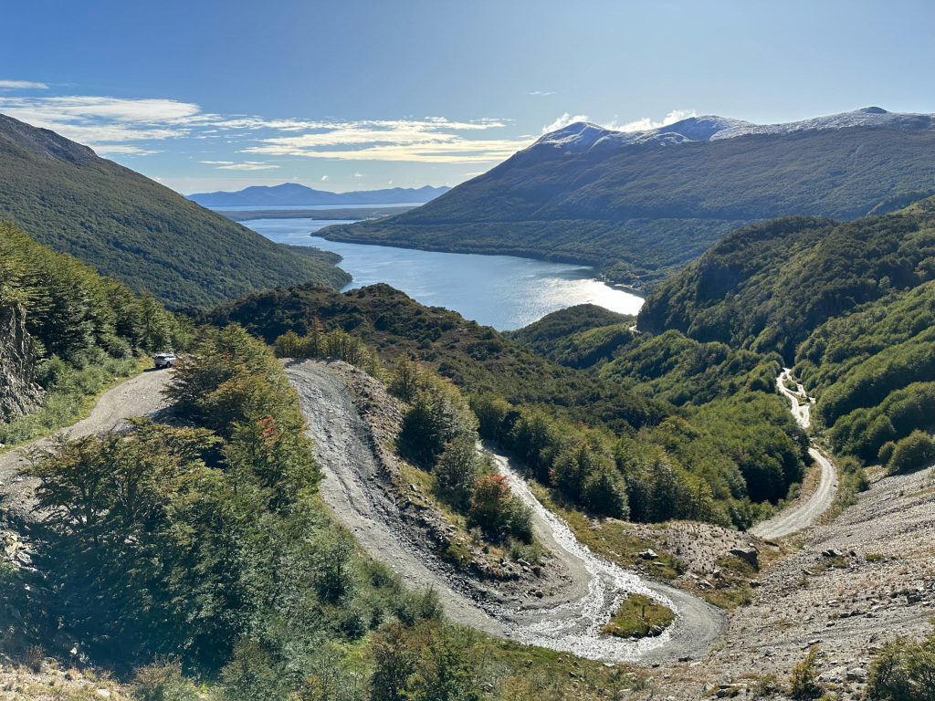
We drove West along National Highway Route 3 through the Garibaldi Pass which crosses the Andes mountains. The peaks of the mountains were covered in snow even though it is still summer here. Our primary destinations were the Escondido and Fagnano lakes.
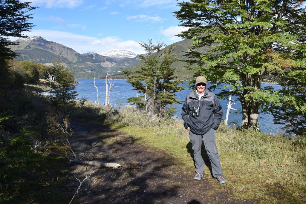
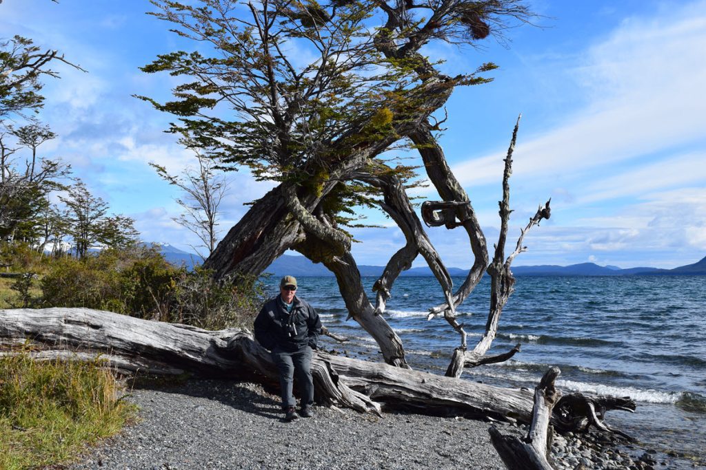
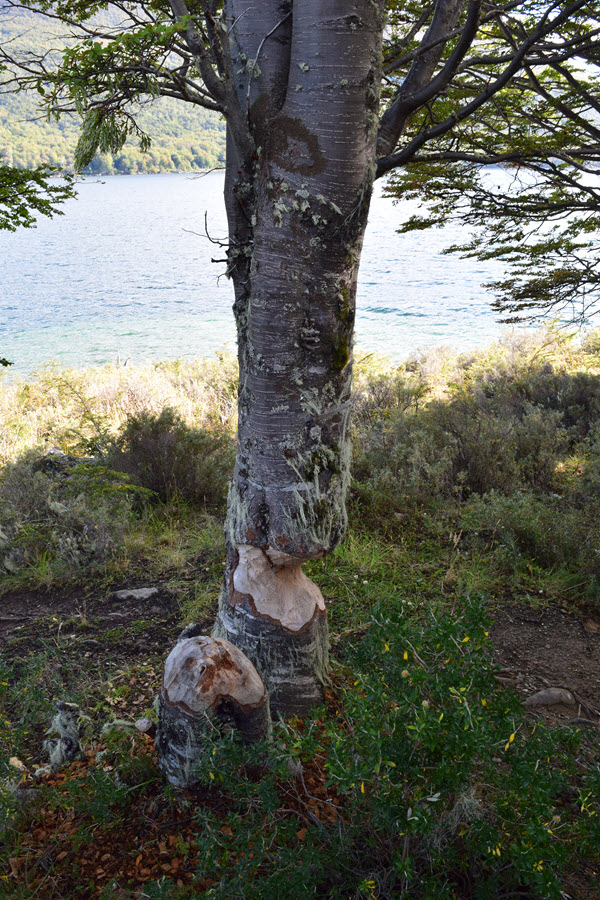
Beavers were introduced in Tierra del Fuego and have since become a big problem because they are destroying forests by cutting down trees and building their dams. This is an example of the damage to just one tree. We passed whole meadows where all the trees were gone or toppled over.
The trip was a good chance to see more terrain of the region and let us take a few short hikes to stretch our legs. However with a little 20/20 hindsight, it would have been better to take a boat excursion to see wildlife. Timing was a problem on Monday – Brenda was very disappointed because she wasn’t able to get on a penguin boat that would have them back before the ship departed at 4pm. The ship had organized its own excursions which left early in the day but those were all full months ago.
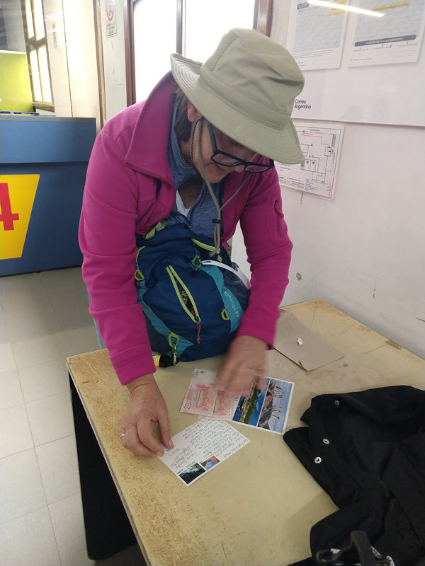
After the excursion, Gaston dropped us in the town. Getting stamps for our Argentine postcards was a bit comical. The post office was very old school – they don’t take credit cards or dollars. You wait in line behind the people apply for government benefits. Then you pay a hefty charge for a postcard stamp – equivalent to $5 USD at the official rate and apply glue manually to the back of the stamps. I didn’t have enough cash so was only able to mail one card. We changed $20 at a restaurant and went back to buy stamps for the other 2 postcards. Who knows how long they will take to arrive in Louisiana and Utah?
The ship departed promptly at 4pm, in order for us to see the glaciers in Beagle Channel before sunset. See the next post for information on that journey.
